A Course to guide the neophytes/novice with their first step in the world of Quantum Geographic Information System QGIS.
What you will learn
This course will help you with your first step in the world of QUANTUM GEOGRAPHIC INFORMATION SYSTEM QGIS.
Working with vector data that will include downloading shapefile of country, Adding the shapefile, Creating and Exporting shapefile, merging, Adding labels
Using geoprocessing tools, Working with raster data, Merge, Extraction, Conversion, Reprojection, Georeferencing, CSV to shapefile conversion
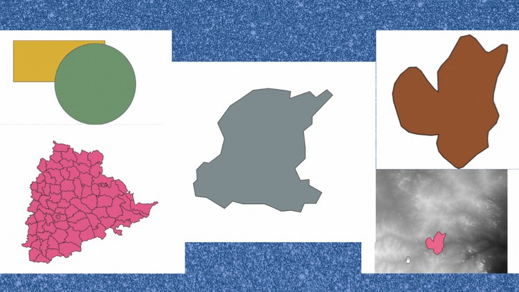
You will be able to create a captivating location map in QGIS.
By enrolling for this course you will get the basic knowlege that is must to get started with QGIS.
Description
This course is not sponsored by or affiliated with Udemy, Inc.
This course is an absolute guide for the beginners, to acquire essential knowledge to begin with QGIS.
This course will help you with your first step in the world of QUANTUM GEOGRAPHIC INFORMATION SYSTEM QGIS.
By enrolling for this course you will get the basic knowledge that is must to get started with QGIS.
This course does not require any basic knowledge of QGIS. I have covered most of the prerequisite for a novice to get started with QGIS.
Anyone who is planning to build up a career in QGIS or any student who is planning to pursue research work by using the QGIS Software can enroll for this course.
You will learn: Working with vector data that will include downloading shapefile of country, Adding the shapefile, Creating and Exporting shapefile, merging, Adding labels, Adding Location Point.
Then we will see how to georeference an image in QGIS.
We will also see how to use geoprocessing tools.
Then we will be working with raster data that includes Adding Rater files, Merging Raster Files, Extraction, Conversion, Reprojection, CSV to shapefile conversion.
This course includes how to import a KML file in QGIS.
You will be able to create a captivating location map in QGIS.
Content