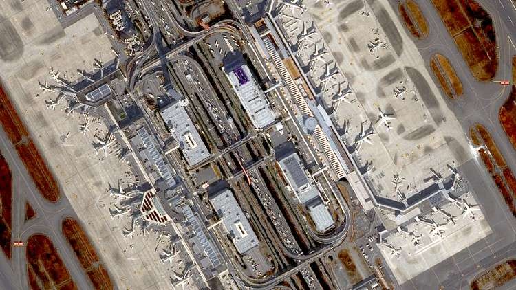
Get started to learn remote sensing with various earth observation satellite data!
What you will learn
Basic knowledge of satellite remote sensing.
Why take this course?
—
**Course Description:**
Are you fascinated by the power of satellites to unveil the mysteries of our planet? Our comprehensive online course, **Satellite Remote Sensing for Beginners**, is your gateway into the intriguing world of Earth observation. Led by the esteemed experts at the **Remote Sensing Technology Center of Japan 一般財団法人リモート・センシング技術センター (RESTEC)**, this course is tailored for beginners eager to explore the field of remote sensing.
—
**What You’ll Learn:**
– **Introduction to Remote Sensing:** Understand the fundamentals and applications of satellite data in monitoring and managing our planet. 📚
– **Types of Satellites:** Discover different types of satellites, their features, and how they contribute to Earth observation. 🛰️
– **Orbiting Insights:** Learn about the two main satellite orbits – geostationary and polar – and their unique roles in remote sensing. 🌍
– **Sensors and Data Access:** Explore the various sensors used in satellite technology, including optical and radar sensors, and how to access Earth observation data. 📶
– **Utilization of Satellite Data:** Grasp the potential of satellite data in applications ranging from agriculture to disaster management. 🌾💥
—
**Course Structure:**
The course consists of 5 comprehensive lectures, each accompanied by sample images from Earth observation satellites to bring concepts to life:
1. **What is Remote Sensing?** An overview of the concept and its significance.
2. **Satellite:** Types of satellites used in remote sensing and their functionalities.
3. **Orbit:** Understanding geostationary vs. polar orbits and their importance in satellite data collection.
4. **Utilization:** Practical applications of satellite data in real-world scenarios.
5. **Data Access:** A guide to searching and retrieving data from one of the most significant earth observation satellites, Landsat.
—
**Hands-On Learning with RESTEC:**
This introductory course serves as a stepping stone to more advanced training. RESTEC offers interactive online training courses that include hands-on exercises for a deeper dive into:
1. **Basic Remote Sensing (2 days)**
2. **Optical Remote Sensing (2 days)**
3. **Synthetic Aperture Radar (SAR) Remote Sensing (2 days)**
4. **Interferometric SAR Remote Sensing (2 days)**
—
**Join Our Community of Learners:**
Embark on your remote sensing journey today and unlock the secrets of our planet from space! For feedback, questions, or inquiries regarding this course, reach out to RESTEC at training@restec.or.jp. Let’s explore the unseen together! 🌟
—
**Enroll Now and Start Your Remote Sensing Adventure!** 🛫🚀