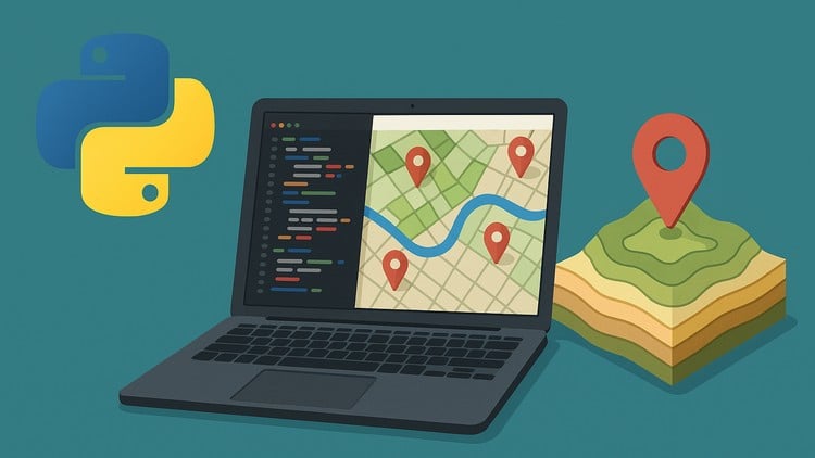
“Automate GIS Workflows and Build Real-World Geospatial Projects with ArcPy, PyQGIS, and Python.
⏱️ Length: 5.1 total hours
⭐ 4.35/5 rating
👥 6,857 students
🔄 December 2025 update
Add-On Information:
Note➛ Make sure your 𝐔𝐝𝐞𝐦𝐲 cart has only this course you're going to enroll it now, Remove all other courses from the 𝐔𝐝𝐞𝐦𝐲 cart before Enrolling!
- Course Overview
- Explore the transformative power of Python as the primary scripting language for the geospatial industry, bridging the gap between traditional manual mapping and advanced digital automation.
- Understand the architectural differences between proprietary GIS environments and open-source frameworks, learning how to leverage the best of both worlds for diverse project requirements.
- Gain a comprehensive introduction to the automation of repetitive geoprocessing tasks, shifting your workflow from time-consuming manual clicks to scalable, reusable script-based execution.
- Delve into the logic of spatial data structures, exploring how Python interacts with vector geometries, raster grids, and complex spatial databases to extract meaningful insights.
- Learn to build custom geoprocessing tools that can be shared across organizations, ensuring consistency in data analysis and cartographic output for multidisciplinary teams.
- Discover the methodologies for integrating external data sources, such as real-time APIs and cloud-based spatial repositories, directly into your local GIS desktop environment.
- Master the techniques for batch processing hundreds of datasets simultaneously, a skill essential for handling the modern “Big Data” challenges inherent in urban planning and environmental monitoring.
- Investigate the role of Python in automating map production, including the programmatic control of layout elements, legend generation, and multi-format export capabilities.
- Requirements / Prerequisites
- A foundational understanding of Geographic Information Systems (GIS) concepts, including coordinate reference systems, map projections, and the difference between vector and raster data.
- Basic computer literacy and comfort navigating file directories, as the course involves managing complex data paths and environment configurations.
- Prior exposure to the user interfaces of either ArcGIS Pro or QGIS is highly recommended to better appreciate the efficiency gains provided by Python automation.
- A working installation of a modern Python 3.x environment, along with access to either an Esri license for ArcPy or a functional QGIS installation for PyQGIS exercises.
- General knowledge of programming fundamentals such as variables, data types, and logical operators is helpful but can be reinforced through the course’s practical applications.
- A machine with sufficient RAM (minimum 8GB recommended) to handle the processing of spatial datasets and the simultaneous running of GIS software and IDEs.
- Skills Covered / Tools Used
- ArcPy Library: Master the professional-grade Python site package used for fine-tuned control over ArcGIS Pro, allowing for the automation of spatial analysis, data management, and map automation.
- PyQGIS Framework: Unlock the potential of open-source GIS by scripting within the QGIS environment, enabling the creation of custom plugins and the automation of desktop workflows without licensing fees.
- Geopandas and Pandas: Utilize high-performance data structures to perform spatial joins, geometric operations, and attribute cleaning within a familiar data-frame architecture popular in data science.
- Shapely and Fiona: Learn the low-level libraries for geometric manipulation and file access, providing the flexibility to handle spatial data outside of heavy desktop GIS software.
- GDAL/OGR: Gain proficiency in the “Swiss Army Knife” of geospatial data, learning to translate, warp, and process diverse raster and vector formats through the command line and Python bindings.
- Jupyter Notebooks: Create interactive, reproducible spatial reports that combine live code, visualizations, and explanatory text for stakeholders and peer review.
- Visual Studio Code (VS Code): Configure a professional Integrated Development Environment for GIS scripting, utilizing debugging tools and linter extensions to write clean, efficient Python code.
- Spatial Database Interaction: Script connections to SQL-based spatial databases like PostGIS or SpatiaLite to query and update geographic information programmatically.
- Benefits / Outcomes
- Transition from a traditional GIS technician to a highly sought-after Geospatial Developer, capable of solving complex technical hurdles that GUI-based users cannot.
- Drastically increase your professional productivity by automating mundane tasks like data conversion, clip-and-ship routines, and periodic report generation.
- Enhance the accuracy and integrity of your spatial data by implementing programmatic validation checks that eliminate the risk of human error in manual editing.
- Develop a robust portfolio of real-world geospatial projects, ranging from automated environmental impact assessments to dynamic urban site selection models.
- Gain the versatility to work in diverse sectors, including government, environmental consulting, logistics, and telecommunications, where automation is a critical business need.
- Learn to build standalone geospatial tools and scripts that can be integrated into larger software ecosystems or used by non-GIS professionals via simple command-line interfaces.
- Future-proof your career by mastering the intersection of spatial analysis and data science, a field currently experiencing rapid growth and high salary potential.
- Establish a streamlined workflow for version control and collaborative coding, allowing you to manage long-term geospatial software projects with efficiency and transparency.
- PROS
- Provides a dual-focus curriculum that covers both the industry-standard Esri ecosystem and the rapidly growing open-source QGIS community.
- Emphasizes practical, project-based learning with real-world datasets, ensuring that theoretical concepts are immediately applicable to professional scenarios.
- Offers a clear pathway for non-programmers to enter the world of spatial scripting through structured, logical progression and hands-on debugging guidance.
- Focuses on modern Python 3 standards and the latest versions of geospatial libraries, keeping your skills relevant in a fast-evolving technological landscape.
- Encourages the development of “algorithmic thinking,” allowing you to deconstruct complex spatial problems into manageable, scriptable components.
- CONS
- The inherent complexity of managing diverse Python environments and library dependencies across different GIS platforms can occasionally lead to initial setup challenges for beginners.
Learning Tracks: English,Development,Programming Languages
Found It Free? Share It Fast!