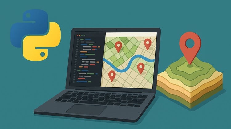
“Automate GIS Workflows and Build Real-World Geospatial Projects with ArcPy, PyQGIS, and Python.
⏱️ Length: 5.2 total hours
⭐ 4.31/5 rating
👥 5,280 students
🔄 October 2025 update
Add-On Information:
Note➛ Make sure your 𝐔𝐝𝐞𝐦𝐲 cart has only this course you're going to enroll it now, Remove all other courses from the 𝐔𝐝𝐞𝐦𝐲 cart before Enrolling!
-
Course Overview
- Embark on a transformative journey into the heart of geospatial technology with this focused Python course. Designed for GIS professionals, analysts, and developers, this program bridges the gap between manual GIS operations and powerful, script-driven automation. You’ll explore the foundational principles of applying Python scripting to complex geographical challenges, moving beyond traditional click-and-point interfaces. Discover how to significantly enhance efficiency, repeatability, and scalability in your daily GIS tasks and large-scale geospatial projects. This course empowers you to leverage Python’s versatility to craft elegant solutions for diverse applications, from environmental monitoring to urban planning, solidifying your position at the forefront of modern geospatial data science.
-
Requirements / Prerequisites
- Basic GIS Understanding: A foundational grasp of core GIS concepts and familiarity with common spatial data types (e.g., shapefiles, rasters, feature classes) is highly recommended to maximize your learning.
- Python Fundamentals: Prior exposure to Python programming basics, including variables, data types, control flow (loops, conditionals), and functions, will significantly accelerate your progress. While not strictly mandatory, a foundational understanding is beneficial.
- System Access: Access to a computer with a stable internet connection is essential for software downloads, environment setup, and accessing course materials.
- GIS Software Familiarity (Beneficial): Prior experience interacting with either ArcGIS Pro/Desktop or QGIS interfaces will be an advantage, as the course builds upon existing GIS software environments.
- No Advanced Programming Expertise: The course is structured to guide you from an intermediate Python application in GIS; no expert-level programming background is assumed.
-
Skills Covered / Tools Used
- Advanced Python Scripting: Develop robust, modular Python scripts specifically tailored for geospatial tasks, emphasizing best practices in code organization, error handling, and reusability.
- Geospatial Library Proficiency: Gain hands-on experience with a broader ecosystem of Python libraries critical for GIS, including but not limited to
GDAL/OGRfor direct spatial data manipulation,Fionafor efficient reading/writing of vector data, andRasteriofor high-performance raster processing. - API Integration Mastery: Understand how to effectively interact with leading GIS software Application Programming Interfaces (APIs), specifically utilizing ArcPy for ArcGIS environments and PyQGIS for QGIS, to programmatically control geoprocessing tools and spatial analyses.
- Data Structure Optimization: Learn to handle and structure large geospatial datasets efficiently using advanced data structures and array computing techniques, ensuring optimal performance for complex analyses.
- Environmental Setup & Management: Master the creation and management of dedicated Python environments (e.g., using Conda or virtual environments) to effectively manage dependencies for various geospatial projects, ensuring reproducibility and avoiding conflicts.
- Custom Tool Development: Explore the principles and techniques involved in developing custom geoprocessing tools and functions that extend the inherent capabilities of standard GIS software, tailoring solutions to specific needs.
- Spatial Database Connectivity: Understand methodologies for connecting Python scripts to spatial databases (e.g., PostGIS, SpatiaLite) for advanced data storage, complex querying, and streamlined data management workflows.
- Interactive Mapping Concepts: Get an introduction to the concepts behind creating dynamic and interactive web maps using Python libraries such as
FoliumorLeaflet, understanding how desktop automation skills translate to web-based visualization. - Version Control Integration: Learn about the critical importance and practical application of version control systems (e.g., Git) for collaborative geospatial script development, project tracking, and robust code management.
-
Benefits / Outcomes
- Significantly Boost Productivity: Transform time-consuming manual GIS processes into automated, repeatable scripts, liberating valuable time for higher-level analysis, strategic planning, and critical decision-making.
- Become a Geospatial Automation Expert: Emerge from the course with the confidence and practical skills to independently design, develop, and deploy sophisticated Python scripts for a wide spectrum of geospatial challenges.
- Future-Proof Your GIS Career: Acquire highly sought-after programming and automation skills that are increasingly essential and in-demand in the rapidly evolving landscape of GIS, remote sensing, and data science industries.
- Unlock Advanced Analytical Capabilities: Extend beyond standard, built-in GIS functionalities by strategically leveraging Python’s extensive scientific computing ecosystem to perform complex, custom-tailored spatial analyses that might otherwise be impossible.
- Enhance Data Consistency & Accuracy: Implement standardized, script-driven workflows that drastically reduce human error, ensuring unparalleled data consistency and accuracy across all projects and team collaborations.
- Develop Custom Solutions: Gain the ability to engineer and build highly specialized geospatial tools and applications that precisely meet unique project requirements, offering bespoke solutions rather than relying solely on generic, off-the-shelf software.
- Collaborate More Effectively: Utilize portable and well-documented Python scripts to seamlessly share methodologies, data processing steps, and analytical results with colleagues, fostering more efficient and transparent team collaboration.
- Problem-Solving Mastery: Cultivate a systematic, programmatic, and analytical approach to dissecting and solving intricate geospatial problems, developing a versatile skill set applicable across diverse industries and research domains.
-
PROS
- Practical, Project-Based Learning: Concepts are reinforced through immediate, hands-on application to real-world scenarios.
- Industry-Relevant Tools: Focuses on highly utilized and essential libraries (ArcPy, PyQGIS) ensuring career applicability.
- Significant Efficiency Gains: Directly addresses automation for dramatic workflow improvements in GIS operations.
- Expert-Led Instruction: Learn from seasoned professionals with deep expertise in both GIS and Python programming.
- Flexible Learning Format: Self-paced structure allows for convenient study at your own schedule and pace.
-
CONS
- Assumes Basic Python Familiarity: While beneficial, learners completely new to Python might require additional foundational study to maximize course absorption and keep pace.
Learning Tracks: English,Development,Programming Languages
Found It Free? Share It Fast!