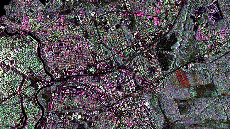
Theory and application practices for InSAR, polarimetry and compact polarimetry.
What you will learn
Remote Sensing, Interformetry, Polarimetry, Compact Polarimetry
Why take this course?
About this course
This course will cover important fundamental SAR concepts (image formation, sensors, data types) and progressively work towards operational processing and interpretation of SAR imagery and products. The course will cover theory and application examples for InSAR, polarimetry and compact polarimetry.
Course Instructors
John Wessels, Senior SAR Scientist, PCI Geomatics
Mr. John Wessels studied Math and Physics at the University of Guelph and developed a strong foundation in core principles required for SAR image formation and processing from early on in his career, having worked on processing systems for several airborne Side Looking Airborne Systems (SLAR) such as the Convair 380, and the Star 3i. He has been a key scientific lead and technical architect of SAR technology toolkits for private companies over the course of his career, most recently with PCI Geomatics where he has led key technology development projects for SAR Sensor support and development of user intuitive workflows for InSAR, polarimetry and compact polarimetric processing. Mr. Wessels is passionate about designing high quality, high performance software tools that make SAR imagery accessible to end users.