ArcPy for ArcMap Level 1: Python Programming for ArcGIS
If You Want To Learn Python Programming Basic To Advanced For ArcGIS, Then This Course is For You. What you will learn Python Programming Basic…
If You Want To Learn Python Programming Basic To Advanced For ArcGIS, Then This Course is For You. What you will learn Python Programming Basic…
Get an overview and learn basics of GIS, QGIS and Remote Sensing with open data & tools (QGIS and Google Earth Engine) What you will…

Mapping Habitat Suitability for Conservation Using Machine Learning and GIS in R What you will learn You will have a greater clarity of basic spatial…
Become Proficient In Spatial Data Analysis Using R & QGIS By Working On A Real Project - Get A Job In Spatial Data! What you…

GIS & Spatial Analysis in the latest QGIS - Master Geographic Information Systems (GIS) via GIS-based project analyses What you will learn Learn step by…
Become proficient in Geographic Information (GIS) in QGIS for vector & raster data analysis, learn fundamentals in QGIS What you will learn Learn step by…
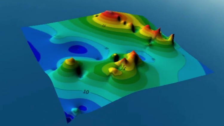
From mapping zero to mapping hero What you will learn Discover the work environment and graphic interface Importing XYZ Excel file and do statistical operation…
Introduction to GIS (GIS နည်းပညာမိတ်ဆက်) What you will learn GIS ၏အခြေခံသဘောတရားများကို နားလည်ရန် GIS တွင် အသုံးပြုသော ဒေတာမော်ဒယ်များ၊ ဒေတာတည်ဆောင်ဖွဲ့စည်းပုံများကို သိရှိနားလည်ရန်။ GIS ဒေတာများကို ထည့်သွင်းပုံ၊ database ဖန်တီးပုံ၊ စီမံခန့်ခွဲပုံတို့ကို စူးစမ်းလေ့လာနိုင်ရန်။…
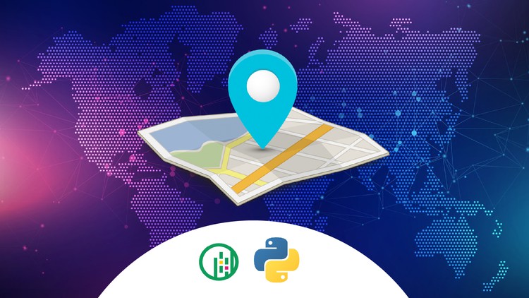
GIS With Python What you will learn Basic of Geopandas Using Geopandas library to do geospatial analysis Use of matplotlib library to visualize the map.…

Getting Started With ArcGIS Pro What you will learn Define what a GIS is and what it’s component parts are Explore the functionality of ArcGIS…
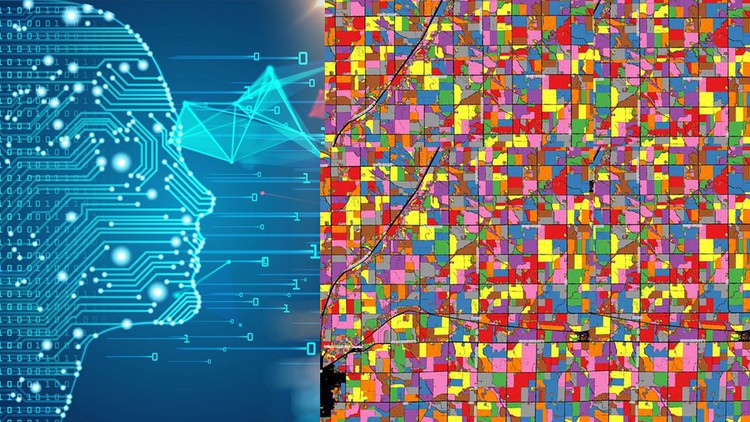
Understand & apply machine learning in Geographic information systems and Remote Sensing in QGIS and Google Earth Engine What you will learn Fully understand the…
Become a QGIS Expert & Proficient in GIS and Spatial Data Analysis using QGIS for GIS and Remote Sensing data analysis What you will learn…
Learn how to process and visualize geospatial data and perform spatial analysis using Python. What you will learn ☑ The course introduces you to the…

What you will learn Download of VIIRS-375m Active Fire Data from NASA's Fire Information for Resource Management System (FIRMS) To be familiar with…

What you will learn R Programming Web Mapping Web GIS Programming Working with dataframes Web mapping with the Leaflet library…

What you will learn Web Mapping Data Transformation and Manipulation Python and GeoDjango Geospatial Machine Learning Data Mapping and Visualization…