Become a QGIS Expert & Proficient in GIS and Spatial Data Analysis using QGIS for GIS and Remote Sensing data analysis
What you will learn
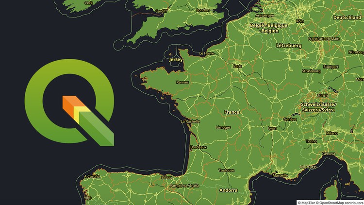
Learn step by step about QGIS, it’s environment and interface using the latest long-lasting release in 2021
Learn how to install and configure QGIS, Get familiar with the interface of QGIS
Learn the power of QGIS plug-ins and their applications: SCP, OTB, TrendsEarth, Google Earth Engine Plug-in and others
Understand the basic to advance GIS concepts and analysis (both theory and practical analysis)
Analyze spatial data (vector and raster data, satellite images) using QGIS 3.16
Learn the core GIS operations on vector and raster layers
Conduct satellite image analysis in QGIS
Learn how to visualize spatial data and how to create GIS maps in QGIS
Learn how to work on geospatial projects in QGIS environment step-by-step
Get introduced to Remote Sensing concepts and image analysis in QGIS
Become expert in GIS analysis in QGIS
Description
QGIS Mega Course: GIS and Remote Sensing – Go from Basic To Expert Level
Do you need to use GIS and spatial analysis in your work but don’t know how to apply these analyses and don’t know software to use for GIS-related work?
Do you find GIS books and QGIS manuals not practical and looking for a course that takes you by hand, teach you all the concepts, and get you started on a real-life GIS project?
I’m very excited that you have found my QGIS Mega Course: GIS and Remote Sensing – Go from Basic To Expert Level course. I will demonstrate to you how to implement GIS and Remote Sensing analyses in the latest version of open-source software QGIS, thus that you could immediately start using vector and raster data as well satellite images for your work and Remote Sensing projects. In this course, I will teach you how to work with the popular open-source QGIS software and its great tools and plug-ins step-by-step that you can go from Beginner to Expert in GIS analysis in QGIS. Quantum GIS (QGIS) is an open-source Geographic Information System that supports most geospatial vector and raster file types and database formats. The program offers wide GIS functionality, with a variety of mapping features and data editing. This enables cutting-edge, global-scale analysis and visualization.
My course provides you with all the necessary theoretical knowledge and practical skills to implement PRACTICAL GIS analysis in QGIS software starting with the basics concepts of GIS and Remote Sensing and equipping you with all necessary knowledge and skills to implement your own independent GIS and Remote Sensing analysis in great QGIS open-source software!
This fundamental 7-hours course is designed to equip you with the theoretical and practical knowledge of applied GIS analysis.
By the end of the course, you will:
– Learn how to install QGIS and work with QGIS and its plug-ins: Semi-Automatic Classification Plug-in (SCP), TrendsEarth, Google Earth Engine plug-in, SAGA and OTB processing toolboxes etc
– Feel confident and completely understand the basics of GIS and Remote Sensing and its main components,
– Learn all basics and core GIS data operations (vector and raster data as well as satellite imagery) and learn how to conduct GIS projects.
– Learn in QGIS how to perform image preprocessing, calculate spectral indices, conduct land use and land cover classifications with Machine Learning algorithms,
– Visualize GIS data and produce GIS maps for your reports
– And more
The course is ideal for professionals such as geographers, programmers, social scientists, geologists, GIS & Remote Sensing, and all other experts who need to use maps in their field and would like to learn more about geospatial analysis and satellite Remote Sensing in QGIS.
One important part of the course is the practical exercises. You will be given some precise instructions, downloadable practical materials, scripts, and datasets to create maps and conduct geospatial analysis using the QGIS software.
So, don’t wait and enrol now to become GIS professional tomorrow!
Content