An Introduction
What you will learn
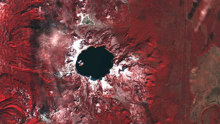
A short history of the Remote Sensing field of Geography
Remote Sensing History Before flight
Remote Sensing History Atmospheric flight
Remote Sensing History Space Based
Description
A short History of Remote Sensing a field in Geography. How did it start and how did it progress until do day.
Remote Sensing have both civilian and military’s origins. The development in one area lead to developments in the other with people crossing over form the military to the civilian sides as the need for them lessen or grow.
The techniques learned were applied in both civilian and military areas over time. This improved our understanding of the world we live in and how everything interact.
The development of technology and photography is at the hart of the Remote Sensing field without that there would be no way to record what we see from a distance and so no “Remote” in Remote Sensing. As the technology improve and develop you can see the changes in the quality and quantity of the images available to use.
Although we discuss the history of Remote sensing under different headings it does not meat that when developments make a new method of imaging and use available older methods are no longer used. The Remote Sensing method you choose to use will depend on the level of detail you need and the type of imagery necessary for your research or the purpose of your project.