
Geospatial Data: Learn From Scratch
Learning Geospatial Data Is Easy Why take this course? 🚀 Course Title: Geospatial Data: Learn From Scratch Course Headline: 🌱 Learning Geospatial Data Is Easy…
Learning Geospatial Data Is Easy Why take this course? 🚀 Course Title: Geospatial Data: Learn From Scratch Course Headline: 🌱 Learning Geospatial Data Is Easy…
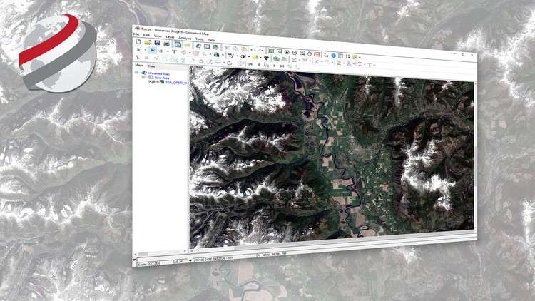
Learn how to view geospatial imagery acquired from Earth observation satellites What you will learn How to visualize satellite imagery in its native distribution format…

Learn how to take scanned historical air photos out of the back room and create high quality ortho mosaics What you will learn Create seamless…
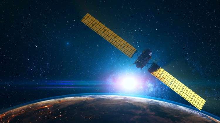
Learn the fundamentals and applications of remote sensing What you will learn Remote Sensing Background Types of Remote Sensing Applications of Remote Sensing data Multispectral…