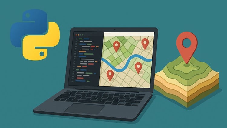
“Automate GIS Workflows and Build Real-World Geospatial Projects with ArcPy, PyQGIS, and Python.
⏱️ Length: 5.2 total hours
⭐ 4.83/5 rating
👥 2,762 students
🔄 August 2025 update
Add-On Information:
Note➛ Make sure your 𝐔𝐝𝐞𝐦𝐲 cart has only this course you're going to enroll it now, Remove all other courses from the 𝐔𝐝𝐞𝐦𝐲 cart before Enrolling!
- Course Overview
- This course transforms GIS operations, empowering professionals with Python scripting for automation. Master reusable code for complex spatial analysis, significantly boosting productivity and accuracy across large geographic datasets, moving beyond traditional manual workflows.
- Dive into Python’s seamless integration with leading GIS platforms, learning to programmatically extend their core functionalities. The meticulously designed curriculum bridges fundamental Python programming with specialized geospatial libraries, enabling the creation of custom solutions for diverse industry needs, from environmental monitoring to urban planning.
- Cultivate advanced analytical skills essential for tackling complex geospatial challenges using a robust programming toolkit. Participants will gain deep insights into efficiently structuring, manipulating, and extracting meaningful information from various spatial data types through code, building a strong foundation for innovative geospatial development and research.
- Requirements / Prerequisites
- A foundational conceptual understanding of Geographic Information Systems (GIS) is highly beneficial for this course. Familiarity with basic GIS software functions, such as map navigation, layer management, and fundamental geoprocessing operations, will provide essential context for the programmatic concepts introduced.
- Participants should possess a solid grasp of Python programming fundamentals. This includes comfort with basic syntax, understanding variables, data types, control flow structures (like loops and conditionals), and defining simple functions. Prior exposure to Python will ensure a smoother and more effective learning curve throughout the course.
- Skills Covered / Tools Used
- Develop proficiency in scripting custom geoprocessing tools and functions, enabling the design and implementation of unique functionalities that extend the capabilities of standard GIS software. This includes creating reusable, modular solutions for complex spatial operations.
- Master programmatic interaction with map documents, layers, and project settings within GIS environments. Learn to dynamically access, modify, and create geospatial features, symbology, and map layouts directly through scripting for unparalleled precision and control over your projects.
- Formulate robust Python scripts for comprehensive data quality assurance and validation across varied geospatial datasets. This involves developing automated processes for identifying errors, cleaning data, and ensuring the integrity of both vector and raster formats, crucial for reliable analysis.
- Explore advanced Python modules tailored for intricate spatial data manipulation and analysis, extending capabilities beyond conventional geoprocessing. This prepares learners for tasks involving complex geometric operations, spatial indexing, and efficient data preparation for sophisticated statistical modeling or machine learning applications within the geospatial context.
- Benefits / Outcomes
- Upon completion, you will transform into a highly sought-after GIS professional or data scientist, equipped with innovative, Python-driven problem-solving skills. This advanced skillset is invaluable for organizations seeking to optimize their geospatial operations and develop cutting-edge, data-centric solutions.
- You will acquire the expertise to prototype and deploy custom geospatial applications and interactive dashboards, effectively converting raw data into actionable intelligence. This empowers you to build tailored tools that specifically address unique analytical requirements, enhancing decision-making processes across various sectors.
- Achieve significant gains in efficiency, reproducibility, and accuracy across all your GIS operations. By automating repetitive tasks and standardizing analytical workflows through Python scripting, you will free up valuable time, minimize human error, and ensure consistent, high-quality results for all your projects.
- PROS
- The course offers highly practical, project-based learning experiences that directly mirror real-world industry challenges, ensuring immediate applicability of acquired skills in professional settings and adherence to current best practices.
- It profoundly empowers learners to dramatically enhance their career prospects by mastering geospatial automation, allowing them to contribute effectively to open-source GIS projects or extensively customize proprietary systems for advanced functionality.
- CONS
- Given its relatively short total duration (5.2 hours), the course provides an excellent practical foundation and introduction, but achieving deep specialization in very advanced, niche geospatial programming topics may require further independent study and practice.
Learning Tracks: English,Development,Programming Languages
Found It Free? Share It Fast!