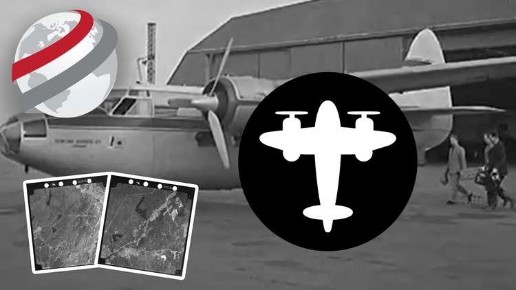
Learn how to take scanned historical air photos out of the back room and create high quality ortho mosaics
What you will learn
Create seamless ortho-mosaics from scanned historical air photos
Understand how to build a photogrametric model to ensure high overall image registration accuracy
Create perfectly color balanced final products
Why take this course?
Are your historical air photos gathering dust in the archives? It’s time to bring them into the digital age! In this comprehensive course from PCI Geomatics, you’ll learn a practical workflow to process scanned historical air photos using **Geomatica Desktop Image Processing Software** and the specialized **Historical Airphoto Processing (HAP) Module**. This is your chance to transform these valuable resources into high-quality ortho mosaics and elevation models, ready for modern applications.
## What You’ll Learn 🎓
### Who Should Enroll?
👉 **Planners** looking to utilize historical data for informed decision-making.
👉 **Archaeologists** who can benefit from change detection in research.
👉 **Environmental Scientists** aiming to monitor land use changes over time.
👉 **Historians** and **GIS Professionals** seeking to enhance their datasets.
This course is designed for anyone who wants to unlock the potential of old air photos, regardless of your current skill level with image processing software.
### Course Materials 🛠️
– **Geomatica Desktop Image Processing Software**: A powerful tool at your fingertips.
– **HAP Module**: A specialized module for historical air photo processing.
– **Sample Data Sets**: Courtesy of the City of Saint John, New Brunswick in Canada.
– **Trial Software License**: Experience the full capabilities of Geomatica with a trial license included.
### Course Structure 📚
The course materials consist of videos that run for just over 1 hour. However, to fully grasp the techniques and master the process, you’ll likely revisit these videos several times. The expected time to complete the course is between **4-6 hours**, allowing for a thorough understanding and hands-on practice with the provided materials.
### Key Topics Covered 🗺️
– **Introduction to Geomatica Desktop**: Getting familiar with the interface.
– **Historical Airphoto Processing Workflow**: Steps to process historical images.
– **Creating High-Quality Ortho Mosaics**: Techniques for accurate georeferencing and blending.
– **Generating Elevation Models**: From historical photos to actionable data.
– **Best Practices for Processing**: Tips and tricks to optimize your workflow.
### Why Take This Course? 💡
– **Practical Skills**: Transition from theory to practice with hands-on exercises.
– **Industry-Standard Software**: Learn on the same tools used by professionals worldwide.
– **Historical Data Applications**: Understand how to use historical imagery for contemporary applications.
– **Resource Efficiency**: Save time and resources by bringing your data into the digital realm effectively.
### Your Journey to Mastery 🛫
Embark on a journey to master the art of historical air photo processing with PCI Geomatics. This course is your ticket to unlocking valuable data, enhancing your GIS capabilities, and contributing to a wide range of applications from urban planning to environmental studies.
Sign up today and take the first step towards becoming an expert in historical air photo processing! 🚀📍