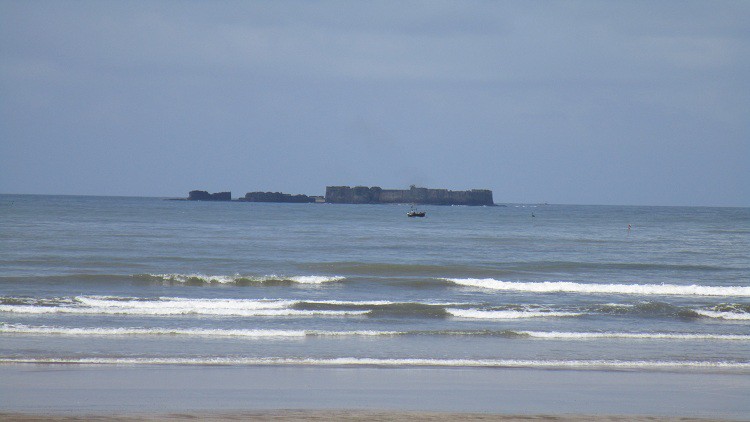
Location of Soundings from shore and boat
What you will learn
Students who are studying civil engineering course will able understand the definition,purpose of hydrographic surveying, sounding , and various methods of locating soundings
Why take this course?
Basically Hydrographic survey is a type of survey which is conducted on or near a body of water, such as bay, harbour,lake or river. Hydrographic surveys are conducted to determine the position of the bottom of bodies of water, to determine submarine contours and to locate other topographical features related with large water bodies. Hydrographic surveys are also conducted for making nautical charts for navigation and for planning and designing of engineering projects related with large bodies of water such as bridges, dams, docks and harbours. This course covers the basic information requires to locate the soundings.
Locating the soundings involves the establishment of horizontal and vertical control by conducting traverse or triangulation survey. Then equipment like sounding boat, sounding pole, lead line, sounding machine, fathometer (echo sounding instrument), Nautical sextants are required for taking the soundings and locating the soundings. This course mainly focuses on various methods of locating soundings viz; Locating the sounding by coning the survey vessel, location by cross rope, location by range and time interval, location by taking angular observations using theodolite and sextants: Location by one angle from shore, one angle from the boat, observing both the angles from shore, observing both the angles from the boat. Soundings taken during the survey must be reduced with respect to the common unvarying datum.